UN
8 Green Lawn
£ 74,950
Description
We don't have a Description for this property.
- Bedrooms
- 3
- Bathrooms
- 0
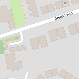

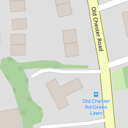

Leaflet © OpenStreetMap contributors
The heatmap indicates the level of crime in the area. The color of the heatmap indicates the crime severity and recency.
Metrics Year-on-Year
- Average area value
- 163,217.00 £Decreased by 7.22 %
- Average area rental value
- 594.00 £/moDecreased by 92.41 %
- Est rental Yield
- 4.37 %Decreased by 91.81 %
- Crime Rate
- 3.00 %Unchanged by 0.00 %
from 175,916.00 £
from 7,827.00 £/mo
from 53.39 %
from 3.00 %
Nearby Schools
| Name | Type | Ofsted | Distance |
|---|---|---|---|
| St Anne'S Catholic Primary School | Voluntary Aided School | Good | 0.43 KM |
| Rock Ferry Primary School | Community School | Good | 0.63 KM |
| Rock Ferry Children'S Centre | Children's Centre | 0.64 KM | |
| Well Lane Primary School | Community School | Good | 0.93 KM |
| St John'S Catholic Junior School | Voluntary Aided School | Good | 1.09 KM |
Images
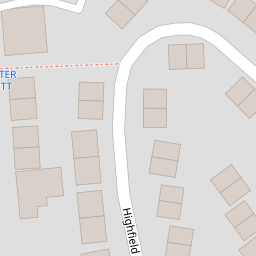
Nearby Streets
| Name | Average Price | Average Sqft | Distance |
|---|---|---|---|
| Shakespeare Avenue | £ 0 | 0 | 0.00 KM |
| Richardson Road | £ 130,000 | 0 | 0.00 KM |
| Woodland Grove | £ 425,000 | 0 | 0.00 KM |
| Queens Road | £ 175,000 | 0 | 0.00 KM |
| Medway Road | £ 0 | 0 | 0.00 KM |
Nearby Transport
| Name | NLC | TLC | Distance |
|---|---|---|---|
| Rock Ferry | 2189 | RFY | 0.46 KM |
| Green Lane | 2218 | GNL | 1.58 KM |
| Bebington | 2188 | BEB | 1.69 KM |
| Birkenhead Central | 2217 | BKC | 2.26 KM |
| Port Sunlight | 2198 | PSL | 2.81 KM |
Nearby Listings
| Address | Price | Type | Score | Distance |
|---|---|---|---|---|
| Highfield Crescent, Birkenhead, Wirral | £ 200,000 | BUY | 6 / 10 | 0.14 KM |
| Highfield Crescent, Rock Ferry | £ 245,000 | BUY | 6 / 10 | 0.17 KM |
| 44 Highfield Crescent, Rockferry, Wirral, Cheshire, CH42 2DR | £ 195,000 | BUY | 7 / 10 | 0.18 KM |
| Browning Avenue, BIRKENHEAD, CH42 | £ 180,000 | BUY | 5 / 10 | 0.19 KM |
| Old Chester Road, BIRKENHEAD, CH42 | £ 55,000 | BUY | 5 / 10 | 0.20 KM |
Nearby Properties
| Address | Price | Distance |
|---|---|---|
| 26 Green Lawn | £ 117,000 | 0.00 KM |
| 28 Green Lawn | £ 140,000 | 0.00 KM |
| 34 Green Lawn | £ 99,000 | 0.00 KM |
| 42 Green Lawn | £ 95,000 | 0.00 KM |
| 10 Green Lawn | £ 84,000 | 0.00 KM |